Andre Gray map
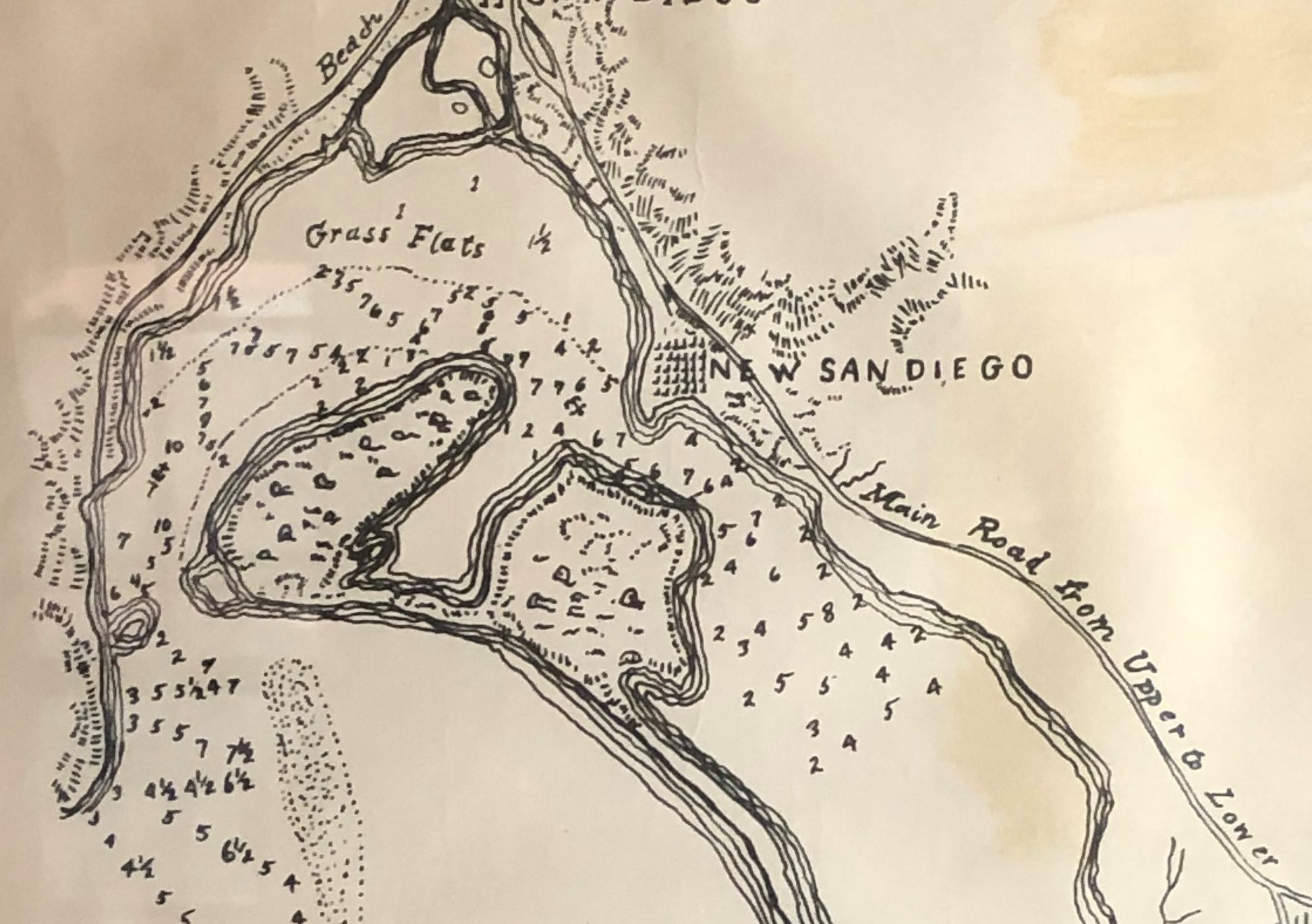
Sketch of the Port of San Diego, 1850. Surveyor A.B. Gray. From the Collections of the Gaslamp Quarter Historical Foundation

Sketch of the Port of San Diego, 1850. Surveyor A.B. Gray. From the Collections of the Gaslamp Quarter Historical Foundation